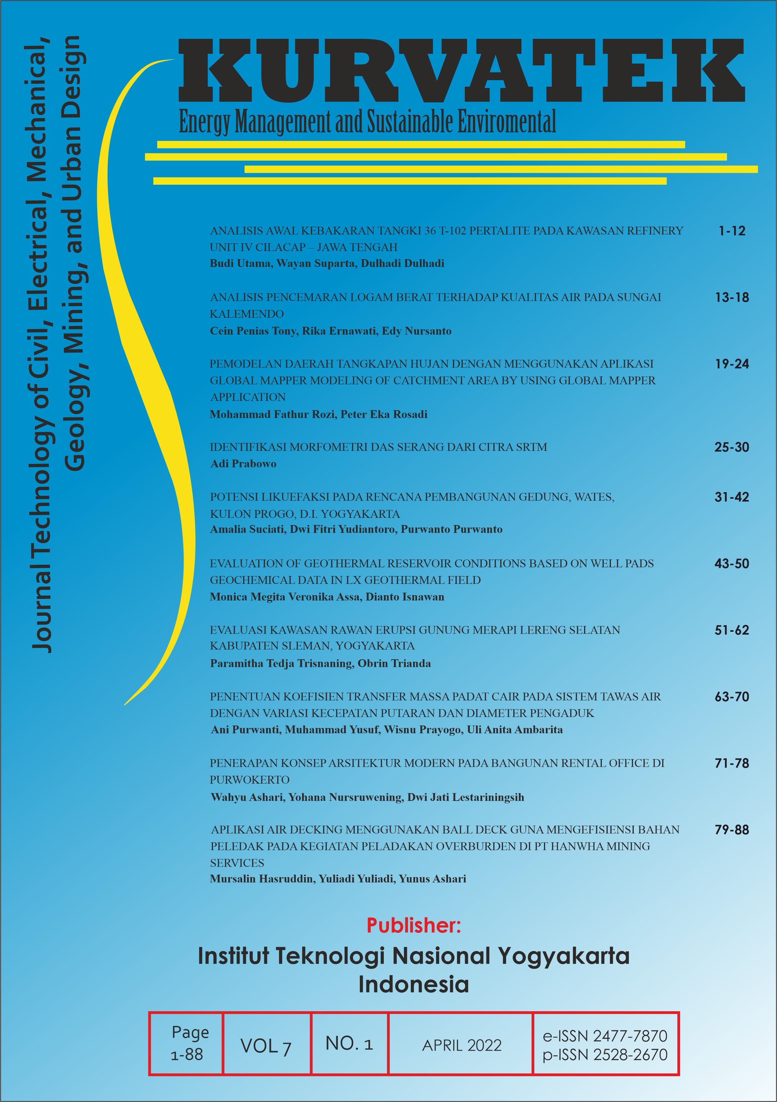
EVALUASI KAWASAN RAWAN ERUPSI GUNUNG MERAPI LERENG SELATAN KABUPATEN SLEMAN, YOGYAKARTA
DOI:
https://doi.org/10.33579/krvtk.v7i1.2746Abstract
Mount Merapi, one of the active volcanoes in Indonesia, has experienced 28 eruptions throughout the 20th century. The volcano with an altitude of 2,986 meters above sea level and located in the northern part of Yogyakarta has become a threat to the surrounding area, including Central Java. The largest eruption that occurred in November 2010 with pyroclastic flows reaching 15 km has caused 386 deaths, 15,366 people displaced, and damage in the Sleman area reached Rp 2.14 trillion. Considering the conditions, objective of the research is vulnerability and disaster risk mapping due to the activities of Mount Merapi. The research was carried out in an effort to minimize future casualties, damage, and losses. Research method done by surface mapping to produce parameter maps, continued by vulnerability and risk analysis by overlaying the parameter maps. Referring to Permen PU/No.21/PRT/M/2007, the landuse of Disasater Prone Area (DPA) III in the research area has not been in accordance with the applicable Ministerial Regulation with high and low levels of disaster risk. DPA II and I have been developed according to their designation in Permen PU/No.21/PRT/M/2007 with level of disaster risk DPA II is a moderate to high level and DPA I is with a low risk level.
Downloads
Downloads
Published
How to Cite
Issue
Section
License
This journal provides immediate open access to its content on the principle that making research freely available to the public supports a greater global exchange of knowledge.
All articles published Open Access will be immediately and permanently free for everyone to read and download. We are continuously working with our author communities to select the best choice of license options, currently being defined for this journal as follows:
• Creative Commons Attribution-ShareAlike (CC BY-SA)

This work is licensed under a Creative Commons Attribution-ShareAlike 4.0 International License.


