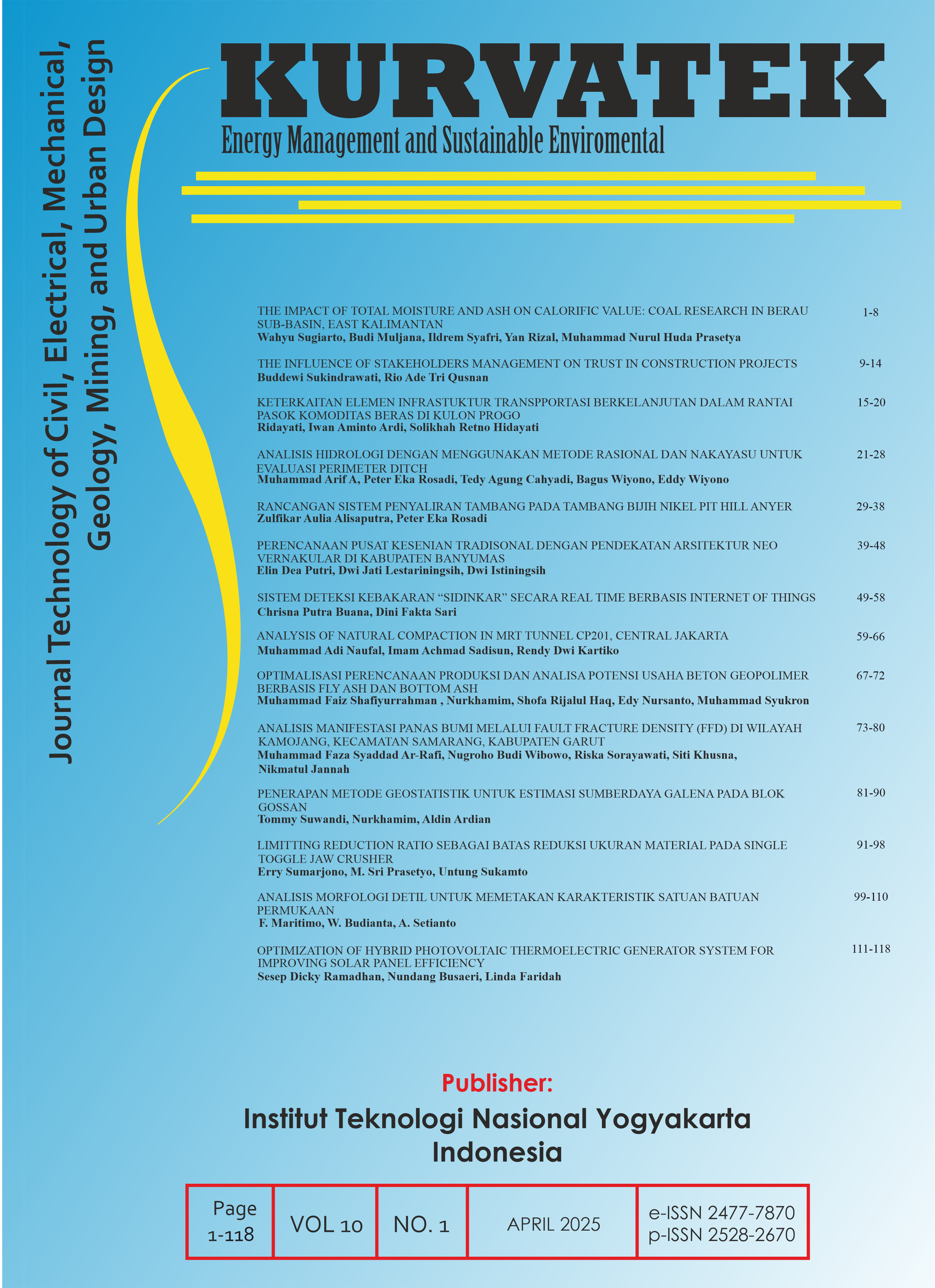
DETAIL MORPHOLOGICAL ANALYSIS TO MAPPING SURFACE LITOLOGICAL CHARACTERSTIC UNIT
DOI:
https://doi.org/10.33579/krvtk.v10i1.5740Keywords:
Detailed Morphology, Surface Lithological UnitAbstract
Regional spatial planning requires accurate data according to the planning scale. One of the problems encountered in the analysis of spatial planning in Indonesia is the unavailability of some basic data that have a level of detail according to planning needs, including geological data. RTRWK requires a map at a scale of 1:50,000, while the availability of a Geological Map at a Scale of 1:50,000 from the Ministry of Energy and Mineral Resources is still very limited. This study aims to produce surface geological distribution data and its characteristics needed in spatial planning with a morphological analysis approach. Detailed morphological analysis is carried out by processing Digital Elevation Model data with a spatial resolution of 8 meters. Detailing of the morphological classification is carried out on the BMB classification. Morphological interpretation is carried out in stages by dividing the land surface from general to detailed, producing classes of high ridged hills, low ridged hills, undulating valleys between hills and plains. Landform interpretation is carried out by adding geological structure data and rock types in the analysis, producing landform classes of high hills elongated fault zones, low hills elongated fault zones, undulating valleys between hills in fault zones, and alluvial plains. Landform units of elongated hills of fault zones can be detailed based on the relief pattern and slope gradient into ridge, steep slope, and gentle slope. Low hills elongated fault zones can be divided into ridge and gentle slope. Meanwhile, the undulating valleys between the hills of the fault zone and the alluvial plains do not show any further variations. The andesite breccia rock unit is the lithology that forms the morphology of elongated ridged hills, the undulating valleys between the hills are formed from andesite breccia colluvium rock units, while the alluvial plains are formed from alluvium rock units. The division of detailed morphology in the hills reflects the differences in the characteristics of the degree of weathering of the rocks and the weathering materials. The andesite breccia rock unit on the ridge experiences strong weathering and produces a lot of in-situ soil material. The andesite breccia bedrock exposed on steep slopes experiences early weathering with thin soil deposits on top and has several andesite boulders deposited in the bends of the slopes. Gentle slopes have surface rock units dominated by colluvium material. This unit consists of andesite breccia boulders scattered on the surface mixed with weathered soil material from ridge and/or steep slopes. The undulating valleys between hills also have characteristics of surface rock units consisting of andesite breccia boulders on the land surface with thick soil resulting from the accumulation of weathered soil from the hills. Alluvial rock units on alluvial plains do not reflect significant variations.
Downloads
References
P. M. A. d. T. R. B. P. N. N. 1. T., "Pedoman Penyusunan Rencana Tata Ruang Wilayah Provinsi, Kabupaten dan Kota", 2008.
I. W. G. K. Arimjaya and M. Dimyati, "Remote Sensing and Geographic Information Systems Technics for Spatial-Based Development Planning and Policy", International Journal of Electrical and Computer Engineering (IJECE), vol. 12, no. 5, pp. 5073-5083, October 2022. doi: 10.11591/ijece.v12i5.pp5073-5083
Downloads
Published
How to Cite
Issue
Section
License
Copyright (c) 2025 Febrian Maritimo, Wawan Budianta, Agung Setianto

This work is licensed under a Creative Commons Attribution-ShareAlike 4.0 International License.
This journal provides immediate open access to its content on the principle that making research freely available to the public supports a greater global exchange of knowledge.
All articles published Open Access will be immediately and permanently free for everyone to read and download. We are continuously working with our author communities to select the best choice of license options, currently being defined for this journal as follows:
• Creative Commons Attribution-ShareAlike (CC BY-SA)

This work is licensed under a Creative Commons Attribution-ShareAlike 4.0 International License.


